


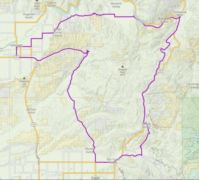
Route Guide - Montour Loop
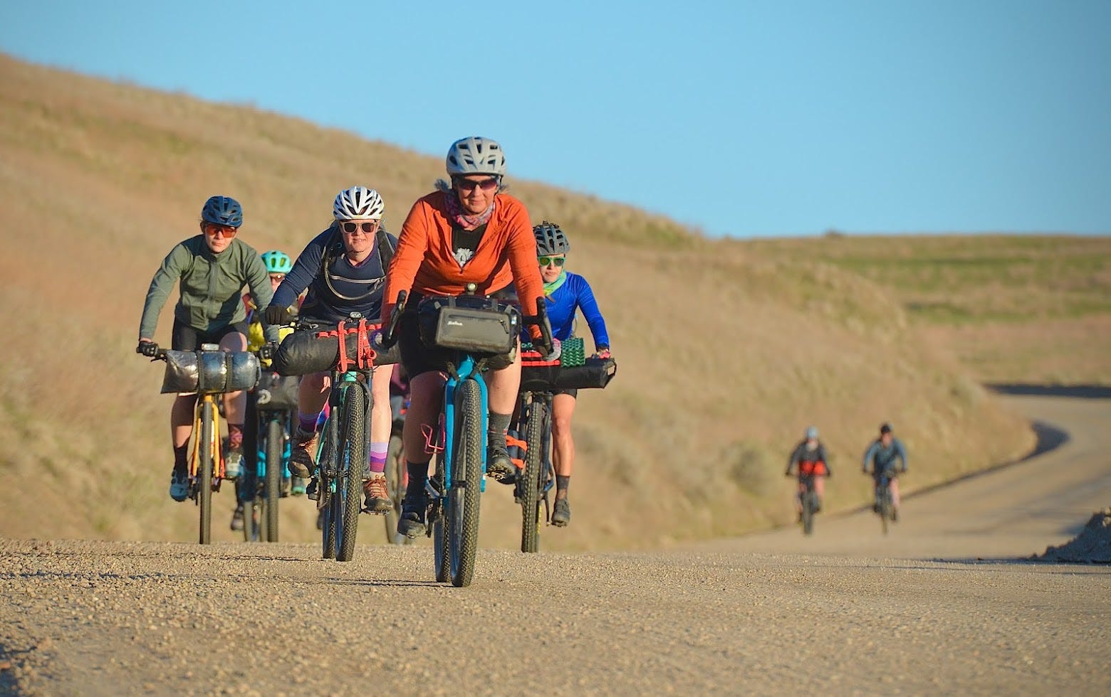
A simple overnighter with easy terrain and logistics, meant to introduce new riders to bikepacking. Our first ever IWBP group ride done in April of 2021.

Overview
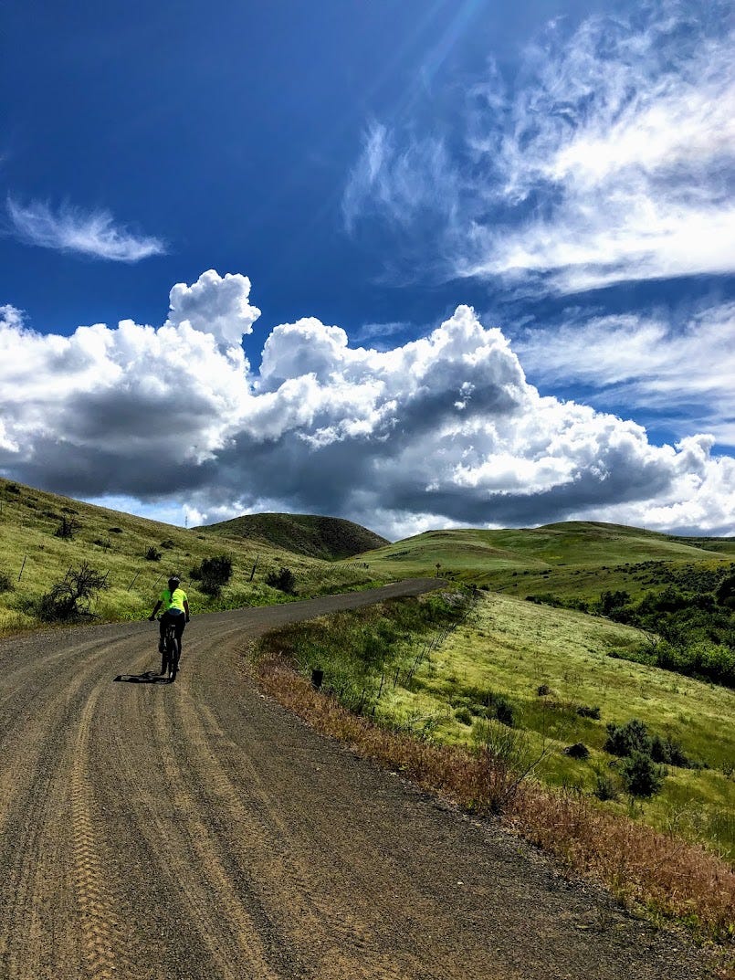
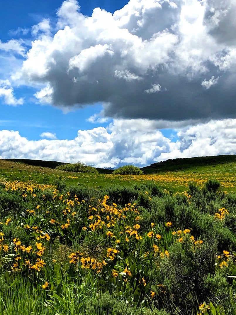
This is a classic Boise area springtime loop that is easy technically and logistically. It is mostly gravel, can be ridden on almost any bike, and makes for an excellent beginner option, or an easy after-work S24H (sub-24-hour) getaway.
Total route: 61 miles / 5300 ft.
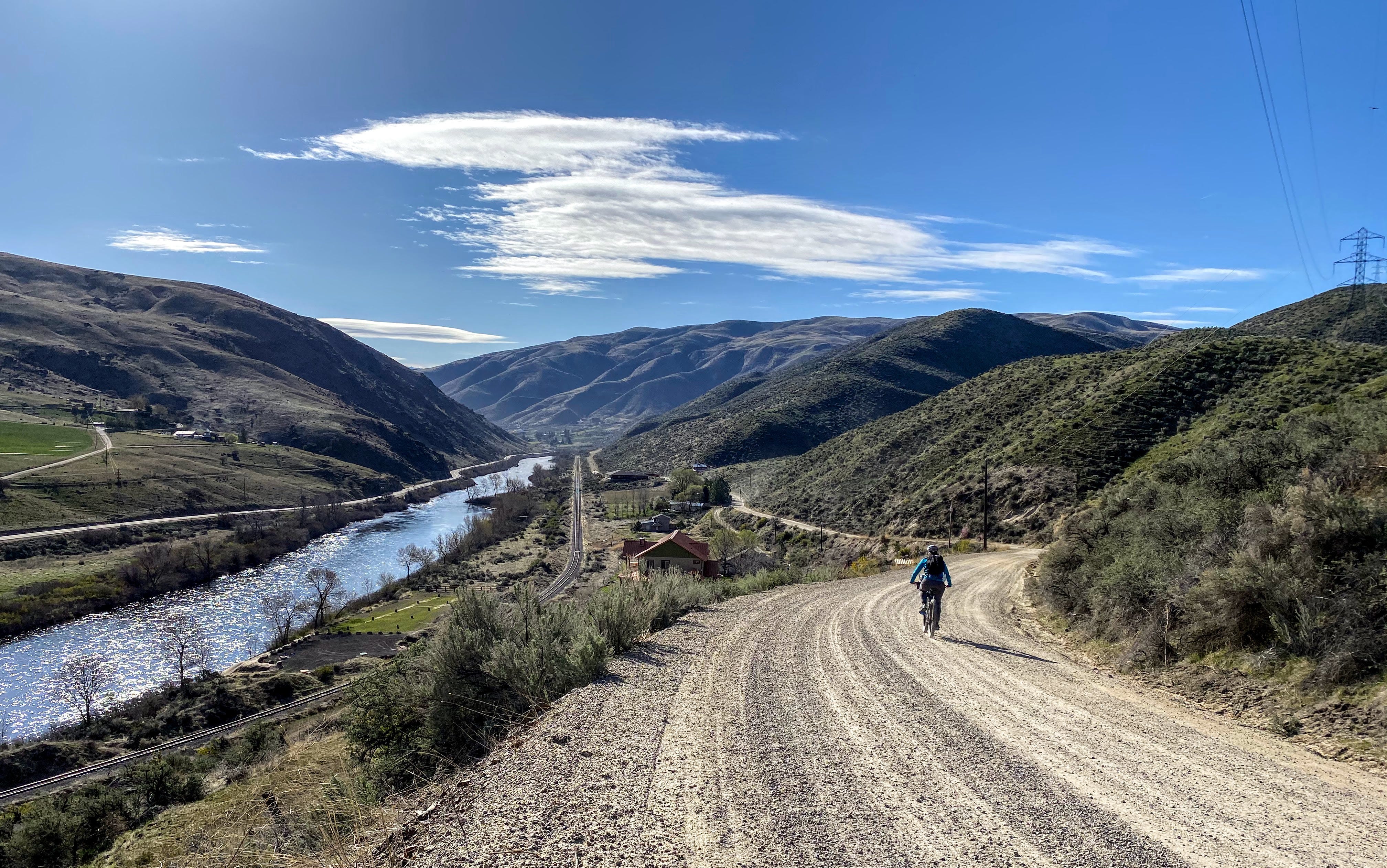
Terrain: 60% gravel, 40% pavement. Be prepared to ride the shoulder of Highway 55 for a short portion of the route. Most of the shoulder is plenty wide.
Recommended bike and tires: Any mountain or gravel bike will do.
Suggested starting point: Start from home if you live nearby. Or overnight public street parking is available near the Chevron on Hwy 55 and Beacon Light Rd.
Difficulty *
Climbing scale 5/10 (80 feet per mile).
Technical scale 1/10. Nothing technical beyond possible areas of deeper / looser gravel.
Physical demand 2/10. Route is designed for beginners, or for early season riding.
Resupply and Logistics 1/10. As easy as it gets. The route is a loop. Frequent access to potable water, and to restaurants / convenience stores.
Day 1
Approximately 33 miles. Begin riding north on Eagle Rd which will turn into Willow Creek Rd then Pearl Rd. Fork left at Sand Hollow Rd, which will climb for a couple miles before a long and fun descent into Emmett. Here you will find a few convenience store and restaurant options for a meal or resupply.
Camp
Montour Campground has grass, tables, gravel pads, drinking water, and pit toilets. Be prepared to pay; tent camping on the open grass is $3 / night.
Day 2
Ride into Horseshoe Bend, then return to Boise. Be sure to use the old abandoned highway for the long climb out of Horseshoe Bend.
Food and Resupply
We recommend the following general meal plan for a 2 day pace.
Day 1 begin after eating a good lunch
Day 1 dinner in Emmett
Day 2 breakfast at camp
Day 2 lunch in Horseshoe Bend
And of course always carry plenty of snacks
Water
Bring 2-3 liters carrying capacity. Running water is available at towns along the way. A filter as a backup is always a good idea.
Route Links
Misc.
Cell service will mostly be available on this route.
Bikepacking can be strenuous and dangerous. You ride at your own risk.
Please practice the Leave No Trace Seven Principles.
For a more challenging trip in this same area, consider our Sehewoki’i Newenee’an Katete route
* Difficulty ratings are modeled after bikepacking.com's system. Ratings are somewhat subjective, and can change based on weather, individual fitness and abilities, and other environmental factors. We welcome input on ratings.