


Route Guide - Around Arrowrock Reservoir
A popular Boise area beginner-to-intermediate loop. First ridden by IWBP in May of 2021.

Overview
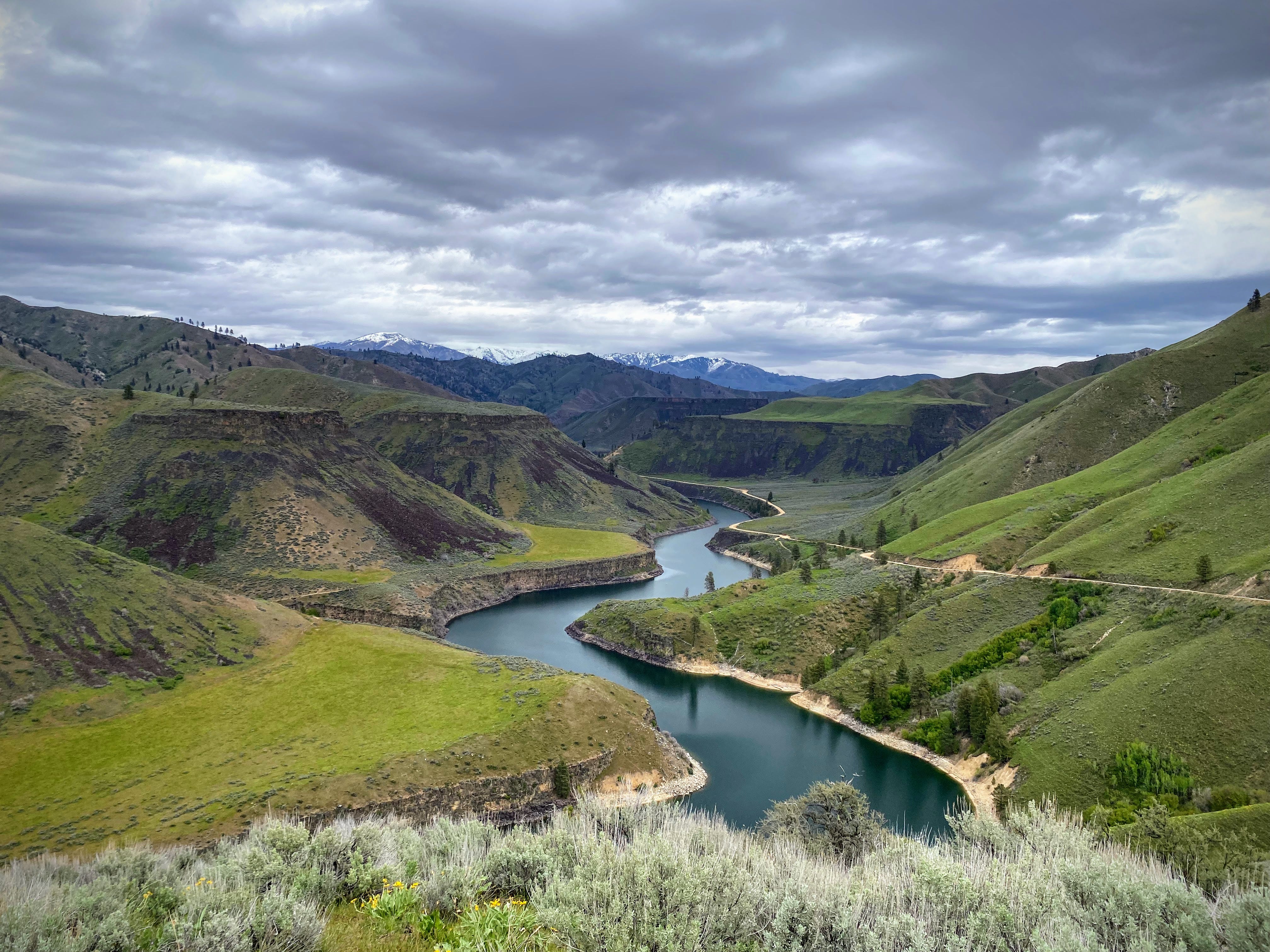
This ride is a 2 day / 1 night loop that starts and ends near Luck Peak Dam in Boise.
Total route: Approximately 87 miles with 7600 feet of climbing.
Terrain: Approximately 80% gravel and 20% pavement. No singletrack.
Recommended bike and tires: Nearly any gravel or mountain bike will do.

Difficulty *
Climbing scale 5/10 (87 feet per mile).
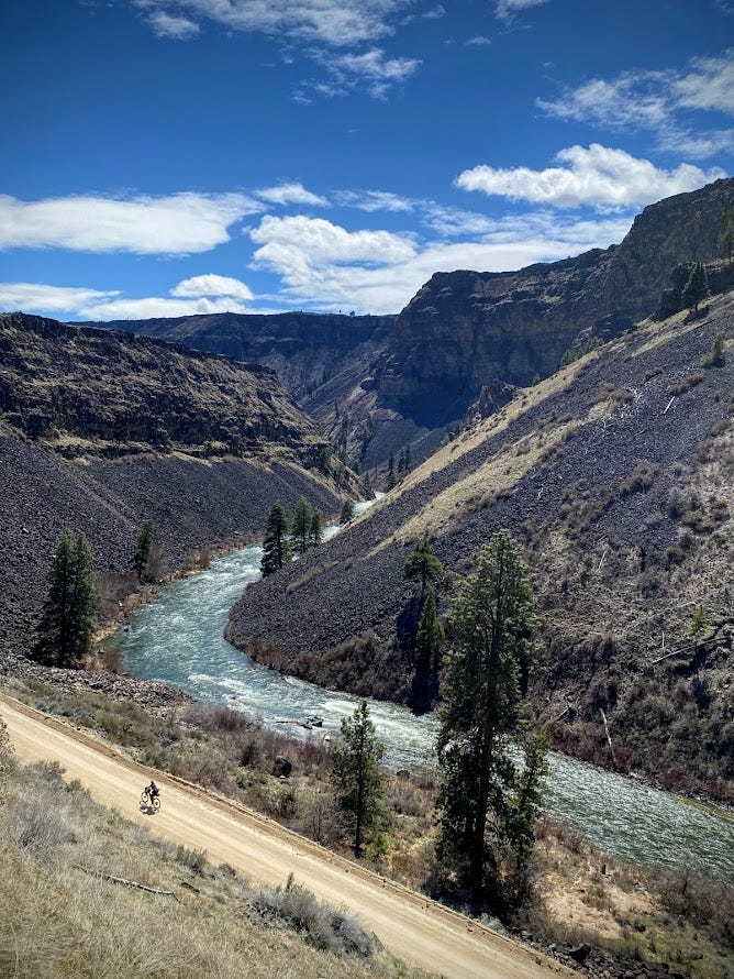
Technical scale 3/10. Lydle Gulch is a short but challenging 2 mile climb with loose sand and rocks. Plan to walk parts of this. Otherwise, there is nothing technical beyond possible areas of loose gravel.
Physical demand 3/10. Route is designed for beginner-to-intermediate riders, or for early season riding.
Resupply and Logistics 2/10. The route is a loop. Frequent access to water for filtering. Food and resupply options in Prairie.
Day 1
Approximately 55 miles and 6000 feet of climbing. Begin the ride on the Greenbelt traveling to Lucky Peak Dam, through Lydle Gulch and onto Blacks Creek Road to the beautiful South Fork of the Boise River. A stout climb will bring you to the tiny town of Prairie for a late lunch at the Y Stop (about mile 38) or the Prairie Store (2 miles off route and well wort it). Continue north through Slide Gulch and to the Middle Fork of the Boise River.
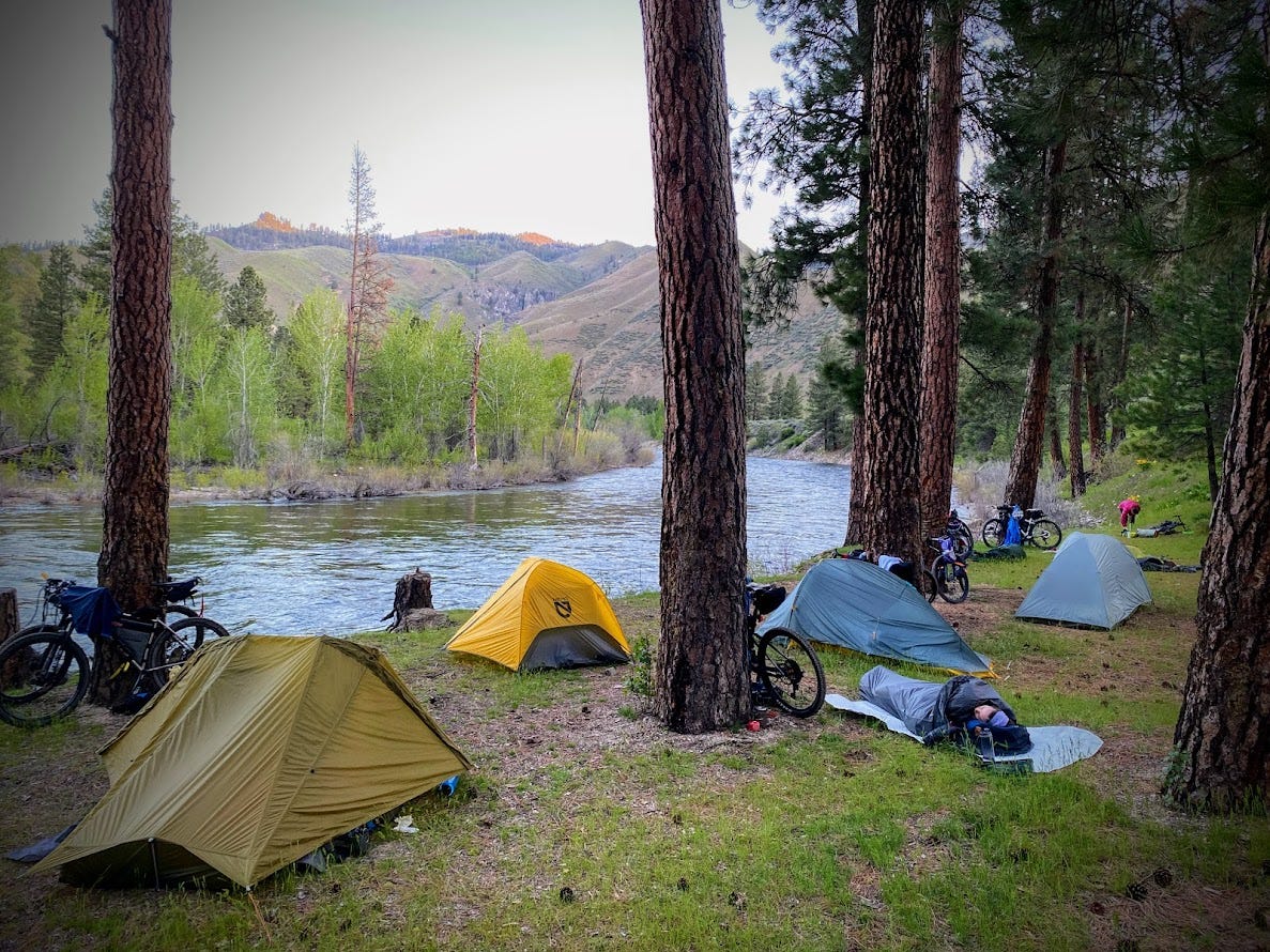
Camp
There are a few formal campground along the Middle Fork. Willow Creek CG is a great choice at mile 56. The campgrounds along the middle fork have pit toilets and may not provide drinking water (some have well pumps that sometimes work).
Day 2
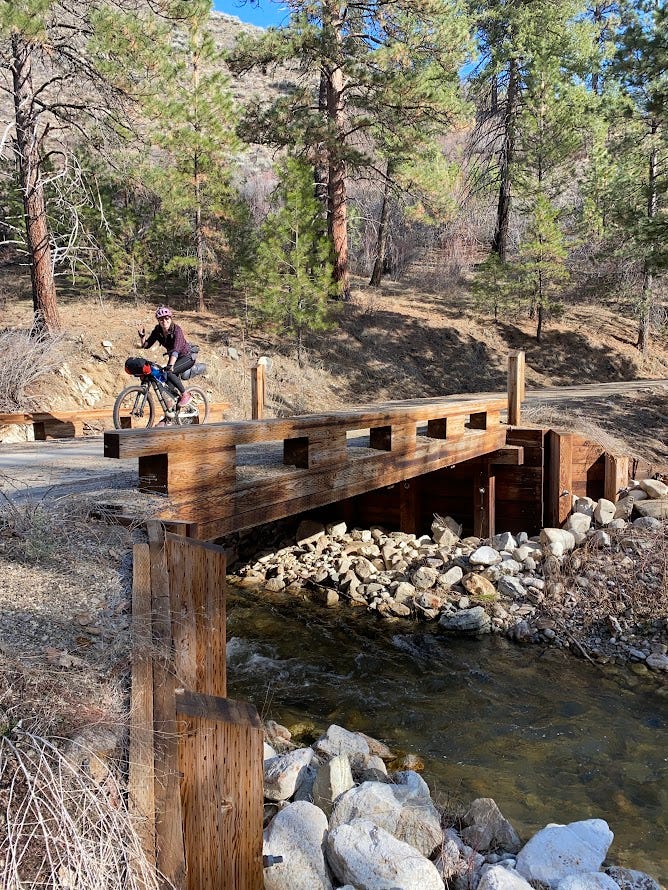
Approximately 32 miles and 1500 feet of climbing. Ride the Middle Fork Rd toward Boise until you reach Hwy 21, then up and over Hilltop back to the Greenbelt.
Food and Resupply
Start with a full belly. Eat lunch at the restaurant or gas station in Prairie. You will need to pack a dinner for day 1, and a breakfast and lunch for day 2. Bring plenty of snacks. You can also refuel snacks in Prairie.
Water
Bring around 3 liters carrying capacity. Water for filtering is plentiful, including at camp.

Route Links
Misc.
Cell service will not be available for most of this route.
Bikepacking can be strenuous and dangerous. You ride at your own risk.
Please practice the Leave No Trace Seven Principles.
* Difficulty ratings are modeled after bikepacking.com's system. Ratings are somewhat subjective, and can change based on weather, individual fitness and abilities, and other environmental factors. We welcome input on ratings.